System
Light
Dark
News
RSS, last 100
Podcast feed of the last two years
SD quality
Podcast audio feed of the last year
Podcast archive feed, everything older than two years
SD quality
News
RSS, last 100
Podcast feed of the last two years
SD quality
Podcast audio feed of the last year
Podcast archive feed, everything older than two years
SD quality
Search for "【"W" returned 10198 results
previous page
Sort by
Newest first
Oldest first
Relevance
next page
20 min
ISRIC:152160 - The Homolosine Projection in a Big Spatial Data framework
20 min
2019-08-29
58
Luís Moreira de Sousa
FOSS4G 2019
27 min
OGC Overview: programs, processes, standards baseline and new developments relevant for…
27 min
2019-08-29
35
Athina Trakas
,
Stephan Meißl
,
Tom Kralidis
and
Angelos Tzotsos
FOSS4G 2019
12 min
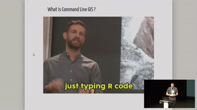
Are we going back to Command Line GIS ?
General
12 min
2019-08-29
481
Nicolas Roelandt
FOSS4G 2019
25 min
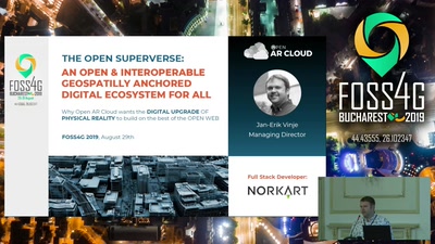
The open geospatially anchored superverse ecosystem (Open AR Cloud)
General
25 min
2019-08-29
42
Jan-Erik Vinje
FOSS4G 2019
17 min
Analyzing floating car data with clickhouse db, postgres and R
General
17 min
2019-08-29
237
Tom van Tilburg & Anne Blankert
FOSS4G 2019
21 min
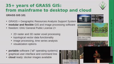
State of GRASS GIS Project: 35 years is nothing!
General
21 min
2019-08-29
85
Markus Metz
,
Markus Neteler
,
Martin Landa
,
Veronica Andreo
,
Anna Petrasova
,
Luca Delucchi
and
Moritz Lennert
FOSS4G 2019
27 min
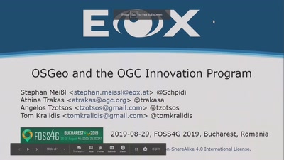
OSGeo and the OGC Innovation Program
General
27 min
2019-08-29
18
Stephan Meißl
and
Athina Trakas
FOSS4G 2019
25 min
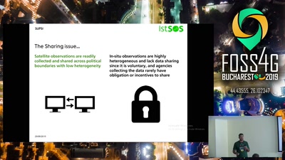
In-situ observation renaissance with istSOS and IoT
General
25 min
2019-08-29
48
Daniele Strigaro
,
Milan
and
Massimiliano Cannata
FOSS4G 2019
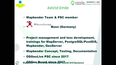
25 min
Create Web Application with Mapbender
General
25 min
2019-08-29
489
Astrid Emde
FOSS4G 2019
31 min
Open Science, Knowledge Sharing and Reproducibility as Drivers for the Adoption of FOSS4G…
Academic
31 min
2019-08-29
48
Steffen Konrad
,
Ionuț Iosifescu Enescu
,
Lucía de Espona Pernas
,
Marielle Fraefel
,
Gian-Kasper Plattner
,
Rolf Meile
,
Dominik Haas-Artho
,
Thomas Kramer
,
Martin Hägeli
and
Leo Bont
FOSS4G 2019
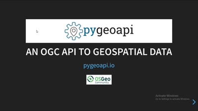
21 min
Next generation OGC web services with pygeoapi
General
21 min
2019-08-29
495
Tom Kralidis
,
Jorge S. Mendes de Jesus
and
Paul van Genuchten
FOSS4G 2019
23 min
Discover huge raster files in the Browser with geotiff.js
General
23 min
2019-08-29
239
Fabian Schindler
FOSS4G 2019
26 min
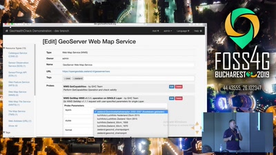
GeoHealthCheck: QoS Monitor for Geospatial Web Services
General
26 min
2019-08-29
121
Tom Kralidis
and
Just van den Broecke
FOSS4G 2019
22 min
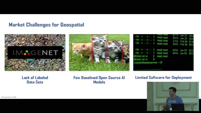
SpaceNet: Automation Levels for Foundational Mapping
General
22 min
2019-08-29
34
Ryan Lewis
FOSS4G 2019
18 min
The FOSS4G Journey
Keynote
18 min
2019-08-29
46
Jody Garnett
FOSS4G 2019
27 min
Mapping the Fate of the Dead in North Korea with Free & Open Source Software and Data
General
27 min
2019-08-29
77
Dan Bielefeld
FOSS4G 2019
24 min
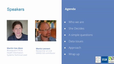
Has she access? Mapping accessibility of Sexual and Reproductive Health care
General
24 min
2019-08-29
27
Martin Van Aken
FOSS4G 2019
16 min
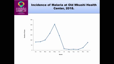
Using Open Street Mapping to map Incidence of Malaria among Vulnerable People of Luano…
General
16 min
2019-08-29
27
Chomba Chishala
FOSS4G 2019
24 min
Oskari technical developments
General
24 min
2019-08-29
22
Sami Mäkinen
FOSS4G 2019
17 min
Metadata workflow, history and draft in GeoNetwork
General
17 min
2019-08-29
54
François Prunayre
,
Antonio Cerciello
and
Paul van Genuchten
FOSS4G 2019
28 min
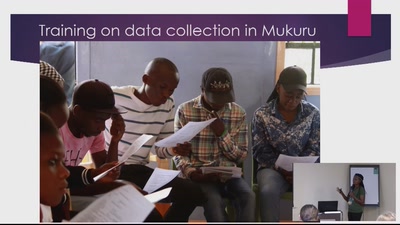
MAPPING FOR BETTER AND CLEAN COMMUNITIES.
General
28 min
2019-08-29
25
Nicera wanjiru kimani
FOSS4G 2019
19 min
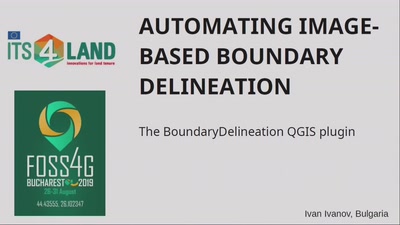
Automating Image-Based Boundary Delineation
19 min
2019-08-29
133
Ivan Ivanov
FOSS4G 2019
24 min
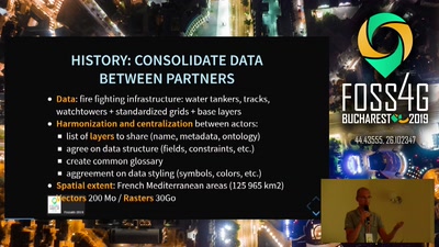
Offline viewing and editing Geographic Information for Forest Fire Defense
General
24 min
2019-08-29
41
René-Luc DHONT
FOSS4G 2019
26 min
Destination Unknown: Design Dimensions of Open Source Travel Mapping Tools
General
26 min
2019-08-29
25
Brookelynn C
FOSS4G 2019
26 min
Using the OGC Web Processing Service (WPS) to move business logic to the server
26 min
2019-08-29
149
Ian Turton
FOSS4G 2019
previous page
next page