System
Light
Dark
News
RSS, last 100
Podcast feed of the last two years
SD quality
Podcast audio feed of the last year
Podcast archive feed, everything older than two years
SD quality
News
RSS, last 100
Podcast feed of the last two years
SD quality
Podcast audio feed of the last year
Podcast archive feed, everything older than two years
SD quality
Search for "FOSS4G" returned 312 results
previous page
Sort by
Newest first
Oldest first
Relevance
next page
26 min
Using the OGC Web Processing Service (WPS) to move business logic to the server
26 min
2019-08-29
149
Ian Turton
FOSS4G 2019
20 min
Free Satellite Data for Stronger City Resilience
20 min
2019-08-30
57
Ran Goldblatt
and
Brad Bottoms
FOSS4G 2019
12 min
Automated GIS-based Complex Developed for the Long-term monitoring of Growing Season…
Academic
12 min
2019-08-28
28
V. Yu. Tsepelev
,
Evgeny Panidi
and
Ivan S. Rykin
FOSS4G 2019
20 min
Extracting cloud free images in an area of interest from a remote sensing archive
General
20 min
2019-08-30
56
Jesko Zimmermann
FOSS4G 2019
17 min
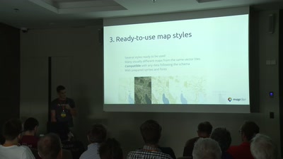
OpenMapTiles: news, thematic layers, and coordinate systems
17 min
2019-08-30
60
Petr Sloup
,
Dalibor Janak
and
Petr Pridal
FOSS4G 2019
25 min
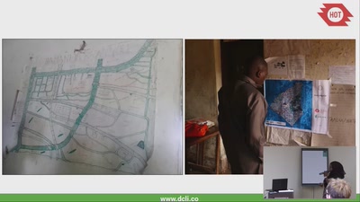
Taking community mapping to a new level (literally) in Tanzania
General
25 min
2019-08-29
33
Asha Mustapher
and
Samhir
FOSS4G 2019
26 min
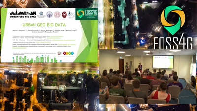
Urban Geo Big Data
Academic
26 min
2019-08-29
109
Francesco Pirotti
,
Michele Munfò
,
Mattia Crespi
,
Antonio Pepe
,
Piero Boccardo
,
Maria Brovelli
and
Gloria Bordogna
FOSS4G 2019
13 min
GEO 101 - an intro to the Group on Earth Observations (GEO). GEOGLOWS: EO and global…
General
13 min
2019-08-30
26
Julia Wagemann
and
Steven Ramage
FOSS4G 2019
19 min
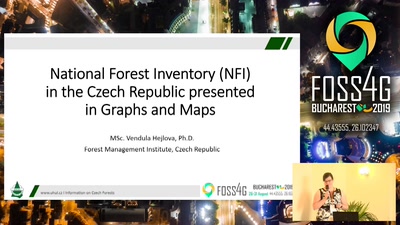
National Forest Inventory (NFI) in the Czech Republic presented in Graphs and Maps
General
19 min
2019-08-30
44
Vendula Hejlová
FOSS4G 2019
27 min
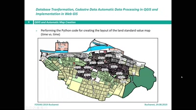
Database Transformation, Cadastre Automatic Data Processing in QGIS and Implementation in…
Academic
27 min
2019-08-29
180
Heike Weippert
,
Franz-Josef Behr
and
Hamidreza Ostadabbas
FOSS4G 2019
28 min
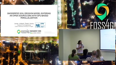
SMODERP2D Soil Erosion Model Entering Open Source Era with GPU-based Parallelization
Academic
28 min
2019-08-28
53
Petr Kavka
,
Ondrej Pesek
,
Jakub Jerabek
and
Martin Landa
FOSS4G 2019
23 min
Supporting Urban Design with Open Source Geospatial Technologies
23 min
2019-08-30
27
Serena Coetzee
,
Megan Haynes
and
Victoria Rautenbach
FOSS4G 2019
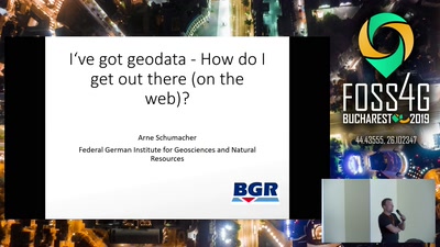
30 min
I’ve got geodata – How do I get out there (on the web)?
30 min
2019-08-29
65
Arne Schumacher
FOSS4G 2019
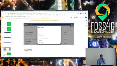
20 min
Input: A touch friendly mobile app for data collection
General
20 min
2019-08-29
179
Lutra Consulting
FOSS4G 2019
21 min
GeoNetwork Opensource: What’s Happening and Upcoming
General
21 min
2019-08-29
111
Florent Gravin
,
Paul van Genuchten
,
François Prunayre
and
Antonio Cerciello
FOSS4G 2019
18 min
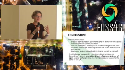
OSGeo UN Committee Educational Challenges: A use case of sharing software and experience…
18 min
2019-08-28
21
HaeKyong Kang
,
Ketty Adoch
,
Silvia Franceschi
,
Maria Brovelli
,
Serena Coetzee
and
Christina Hupy
FOSS4G 2019
20 min
Building a geo marketing tool with open source geospatial software
General
20 min
2019-08-29
134
Bart Saelen
FOSS4G 2019
21 min
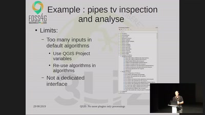
QGIS: No more plugins only processings
21 min
2019-08-29
336
René-Luc DHONT
and
David Marteau
FOSS4G 2019
27 min
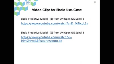
Geo-Analytic Functions for UN Field Operations – UN Open GIS: Spiral 3 Geo-Analysis
Academic
27 min
2019-08-28
32
HaeKyong Kang
,
Timur Obukhov
and
Minpa Lee
FOSS4G 2019
27 min
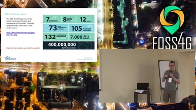
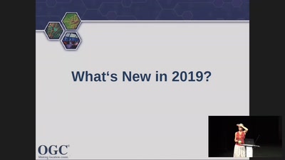
OGC Overview: programs, processes, standards baseline and new developments relevant for…
27 min
2019-08-29
35
Athina Trakas
,
Stephan Meißl
,
Tom Kralidis
and
Angelos Tzotsos
FOSS4G 2019
15 min
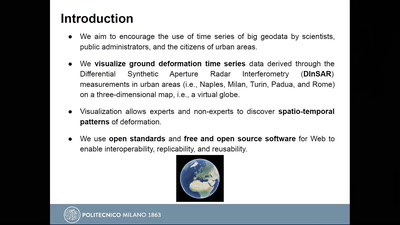
Visualization of Big GeoData: An experiment with DINSAR deformation time series
Academic
15 min
2019-08-29
64
Mariarosaria Manzo
,
Antonio Pepe
,
Pasquale Imperatore
,
Paola Carrara
,
Manuela Bonano
,
Gloria Bordogna
and
Candan Eylül Kilsedar
FOSS4G 2019
21 min
Inter-comparison of the Global Land Cover Maps in Africa Suplemented by Spatial…
Academic
21 min
2019-08-28
40
Maria Brovelli
,
Daniele Oxoli
and
Gorica Bratic
FOSS4G 2019
31 min
The shift of trade powers – Understanding China’s growing importance in global economic…
General
31 min
2019-08-30
103
Arne Schumacher
FOSS4G 2019
36 min
OGC standards development and the role of OSGeo
36 min
2019-08-29
50
Tom Kralidis
,
Athina Trakas
and
Angelos Tzotsos
FOSS4G 2019
22 min
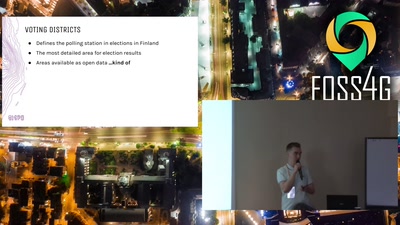
3.6 million points to polygons – lessons learned while generating voting districts with…
General
22 min
2019-08-29
160
Topi Tjukanov
FOSS4G 2019
previous page
next page