System
Light
Dark
News
RSS, last 100
Podcast feed of the last two years
SD quality
Podcast audio feed of the last year
Podcast archive feed, everything older than two years
SD quality
News
RSS, last 100
Podcast feed of the last two years
SD quality
Podcast audio feed of the last year
Podcast archive feed, everything older than two years
SD quality
Search for "【"W" returned 10198 results
previous page
Sort by
Newest first
Oldest first
Relevance
next page
22 min
Three-D Change Detection: A QGIS Plugin with Python 3
General
22 min
2019-08-29
171
Jordan Bates
,
Muhammad Hasan Mustafa
and
Tanmoy Chakraborty
FOSS4G 2019
27 min
Battle of 3D Rendering Stacks: CesiumJS, VTS Geospatial or iTowns?
General
27 min
2019-08-29
281
Ladislav Horký
FOSS4G 2019
24 min
Geospatial data processing for image automatic analysis
General
24 min
2019-08-29
133
Raphaël Delhome
FOSS4G 2019
25 min
Open Source Business Models: making money & playing by the “rules”
General
25 min
2019-08-29
220
Michael Terner
FOSS4G 2019
24 min
FOSS tools for modelling natural hazards: the HortonMachine library
General
24 min
2019-08-28
31
Silvia Franceschi
FOSS4G 2019
23 min
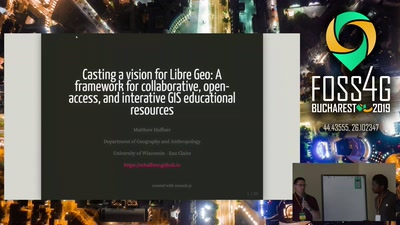
A framework for collaborative, open-access, and interactive GIS educational resources
General
23 min
2019-08-28
38
Matthew Haffner
FOSS4G 2019
22 min
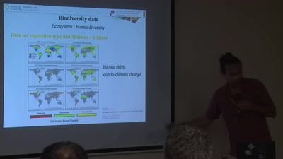
Linking geospatial free and open-source technologies with big data in biodiversity…
General
22 min
2019-08-28
37
Spyros Theodoridis
FOSS4G 2019
23 min
geOrchestra - INSPIDE SDI
General
23 min
2019-08-28
53
Emmanuel Belo
FOSS4G 2019
29 min
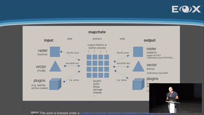
Mapchete - tile-based geodata processing
General
29 min
2019-08-28
86
Joachim Ungar
FOSS4G 2019
28 min
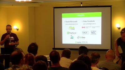
MapML: The (new) "map" HTML element, now in MapServer, GDAL and OGR
General
28 min
2019-08-28
126
Daniel Morissette
and
Peter Rushforth
FOSS4G 2019
27 min
Breaking the curse of raster processing software-as-a-service
General
27 min
2019-08-28
247
Iván Sánchez Ortega
FOSS4G 2019
28 min
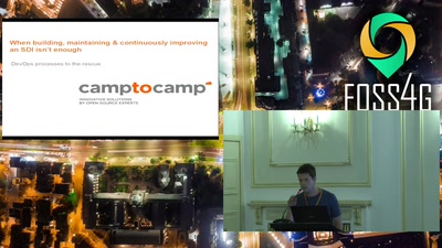
When building, maintaining & continuously improving a SDI isn’t enough: DevOps processes…
General
28 min
2019-08-28
37
Markus Neteler
,
Emmanuel Belo
,
Torsten Drey
and
Marc Jansen
FOSS4G 2019
26 min
Remote Sensing Analysis for Urban Research at Scale
General
26 min
2019-08-28
47
Ran Goldblatt
FOSS4G 2019
26 min
From Text to Map, a state of art.
General
26 min
2019-08-28
45
Olivier Courtin
FOSS4G 2019
25 min
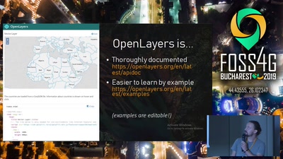
OpenLayers 6 - There And Back Again
General
25 min
2019-08-28
630
Olivier Guyot
FOSS4G 2019
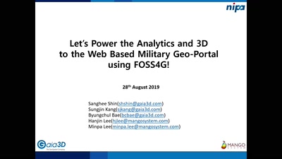
25 min
Let's Power the Analytics and 3D to the Web Based Military Geo-Portal using FOSS4G!
General
25 min
2019-08-28
64
Sanghee Shin
FOSS4G 2019
21 min
SAGA GIS 7.3 - new LTR
General
21 min
2019-08-28
100
Johan Van de Wauw
FOSS4G 2019
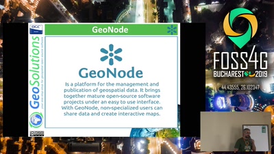
22 min
One Geonode, many Geonodes
22 min
2019-08-28
155
Alessio Fabiani
FOSS4G 2019
23 min
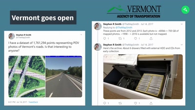
Street-level Imagery as Open Data
General
23 min
2019-08-28
88
Christopher Beddow
FOSS4G 2019
26 min
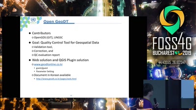
The UN Open GIS initiative – Vision, strategies, and achievements
26 min
2019-08-28
129
Timur Obukhov
,
HaeKyong Kang
,
Rick Arias
,
Maria Brovelli
,
Ki-Joune Li
and
Kyoung-Soo Eom
FOSS4G 2019
20 min
Design and development of the UN Vector Tile Toolkit
Academic
20 min
2019-08-28
67
Hirofumi Hayashi
,
Hidenori Fujimura
,
Oliva Martin
,
Takenori SATO
,
Nobusuke IWASAKI
,
Diego Gonzalez Ferreiro
,
Yoichi Kayama
,
Yusuke Motojima
and
Francis Mugambi
FOSS4G 2019
20 min
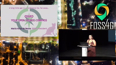
OSGeo: Your Open Source Compass
Keynote
20 min
2019-08-28
100
María Arias de Reyna Domínguez
FOSS4G 2019
23 min
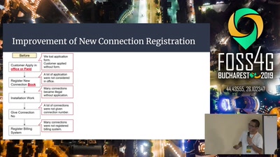
Case Study of Non-Revenue Water Management of Narok water in Kenya
General
23 min
2019-08-28
60
Jin Igarashi
,
akinori okamura
and
Ronoh Kennedy
FOSS4G 2019
28 min
G3W-SUITE: a new framework for the QGIS projects WEB publication.
General
28 min
2019-08-28
232
Lami Leonardo
FOSS4G 2019
24 min
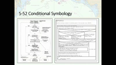
Safer Navigation Using Electronic Navigational Charts, AIS and RADAR Data powered by…
24 min
2019-08-28
100
Bogdan Grama
and
Unnamed user
FOSS4G 2019
previous page
next page