System
Light
Dark
News
RSS, last 100
Podcast feed of the last two years
SD quality
Podcast audio feed of the last year
Podcast archive feed, everything older than two years
SD quality
News
RSS, last 100
Podcast feed of the last two years
SD quality
Podcast audio feed of the last year
Podcast archive feed, everything older than two years
SD quality
Search for "【"m" returned 11585 results
previous page
Sort by
Newest first
Oldest first
Relevance
next page
21 min
Next generation OGC web services with pygeoapi
General
21 min
2019-08-29
495
Tom Kralidis
,
Jorge S. Mendes de Jesus
and
Paul van Genuchten
FOSS4G 2019
27 min
Mapping the Fate of the Dead in North Korea with Free & Open Source Software and Data
General
27 min
2019-08-29
73
Dan Bielefeld
FOSS4G 2019
23 min
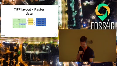
Discover huge raster files in the Browser with geotiff.js
General
23 min
2019-08-29
239
Fabian Schindler
FOSS4G 2019
24 min
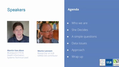
Has she access? Mapping accessibility of Sexual and Reproductive Health care
General
24 min
2019-08-29
27
Martin Van Aken
FOSS4G 2019
16 min
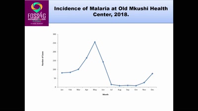
Using Open Street Mapping to map Incidence of Malaria among Vulnerable People of Luano…
General
16 min
2019-08-29
27
Chomba Chishala
FOSS4G 2019
24 min
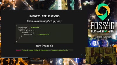
Oskari technical developments
General
24 min
2019-08-29
22
Sami Mäkinen
FOSS4G 2019
17 min
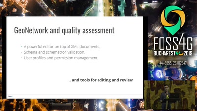
Metadata workflow, history and draft in GeoNetwork
General
17 min
2019-08-29
54
François Prunayre
,
Antonio Cerciello
and
Paul van Genuchten
FOSS4G 2019
28 min
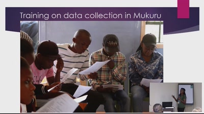
MAPPING FOR BETTER AND CLEAN COMMUNITIES.
General
28 min
2019-08-29
25
Nicera wanjiru kimani
FOSS4G 2019
19 min
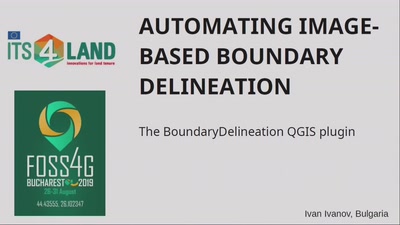
Automating Image-Based Boundary Delineation
19 min
2019-08-29
133
Ivan Ivanov
FOSS4G 2019
24 min
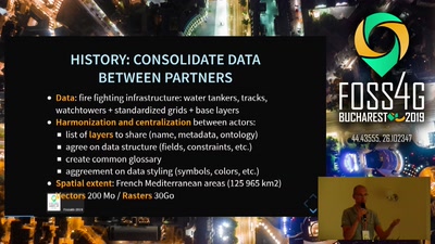
Offline viewing and editing Geographic Information for Forest Fire Defense
General
24 min
2019-08-29
41
René-Luc DHONT
FOSS4G 2019
26 min
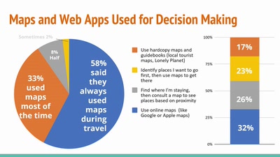
Destination Unknown: Design Dimensions of Open Source Travel Mapping Tools
General
26 min
2019-08-29
25
Brookelynn C
FOSS4G 2019
26 min
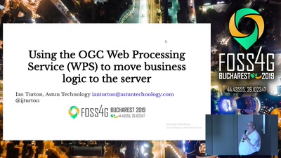
Using the OGC Web Processing Service (WPS) to move business logic to the server
26 min
2019-08-29
149
Ian Turton
FOSS4G 2019
26 min
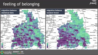
Exploratory study of urban resilience in the region of Stuttgart based on OpenStreetMap…
Academic
26 min
2019-08-29
104
Jörn Birkmann
,
Daniel Feldmeyer
and
Holger Sauter
FOSS4G 2019
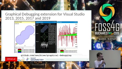
21 min
Spatial Reference Systems Transformations with Boost.Geometry
General
21 min
2019-08-29
61
Adam Wulkiewicz
FOSS4G 2019
20 min
Building a geo marketing tool with open source geospatial software
General
20 min
2019-08-29
130
Bart Saelen
FOSS4G 2019
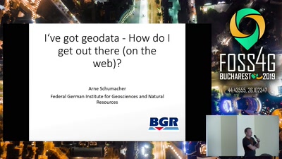
30 min
I’ve got geodata – How do I get out there (on the web)?
30 min
2019-08-29
63
Arne Schumacher
FOSS4G 2019
23 min
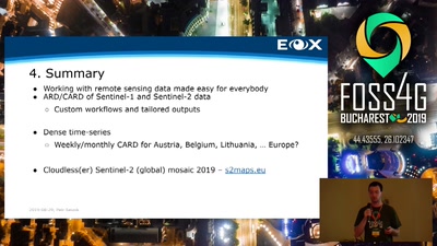
EOxCloudless: Level-3 Analysis Ready Satellite Data
General
23 min
2019-08-29
40
Joachim Ungar
,
Petr Sevcik
and
Elias Wanko
FOSS4G 2019
14 min
Thematic Mapping with Oskari
General
14 min
2019-08-29
37
Timo Aarnio
FOSS4G 2019
17 min
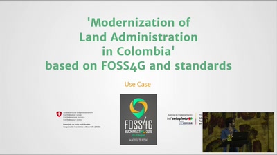
Modernization of land administration in Colombia based on FOSS4G and standards
General
17 min
2019-08-29
53
Germán Carrillo
FOSS4G 2019
25 min
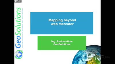
Mapping the world beyond Web Mercator
General
25 min
2019-08-29
110
Andrea Aime
FOSS4G 2019
23 min
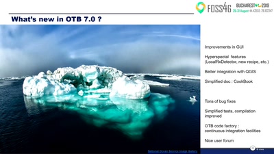
How will you use Orfeo ToolBox in the next few years ?
General
23 min
2019-08-29
109
Yannick TANGUY
FOSS4G 2019
19 min
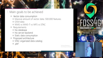
Serverless infrastructure to manage vector and tiff data: pbf and COGs
General
19 min
2019-08-29
149
Raúl García
,
Belén Sáez
,
Simone Dalmasso
and
Enrique Soriano
FOSS4G 2019
17 min
Metadata catalog Cookbook for Argentina's SDI
General
17 min
2019-08-29
19
Malena Libman
FOSS4G 2019
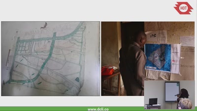
25 min
Taking community mapping to a new level (literally) in Tanzania
General
25 min
2019-08-29
33
Asha Mustapher
and
Samhir
FOSS4G 2019
26 min
Geopaparazzi state of the art of the digital field mapping application
General
26 min
2019-08-29
91
Andrea Antonello
FOSS4G 2019
previous page
next page