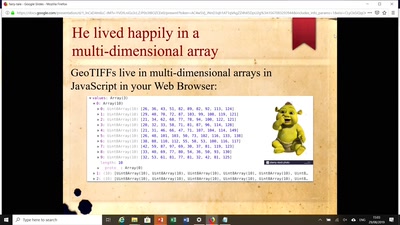
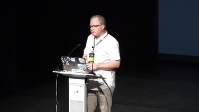
A recent fun blog post turned into an idea for synthesizing imagery training data for ML applications. In the post we presented a method for identifying sasquatch using cloud native geospatial methods and tools. This talk will describe the cloud native approach we took and the opensource tools that were used. We will then describe and demonstrate an idea to create synthetic satellite imagery training data using opensource libraries and tools.
None

