System
Light
Dark
News
RSS, last 100
Podcast feed of the last two years
SD quality
Podcast audio feed of the last year
Podcast archive feed, everything older than two years
SD quality
News
RSS, last 100
Podcast feed of the last two years
SD quality
Podcast audio feed of the last year
Podcast archive feed, everything older than two years
SD quality
Search for "m-1-k-3" returned 9403 results
previous page
Sort by
Newest first
Oldest first
Relevance
next page
26 min
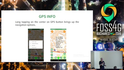
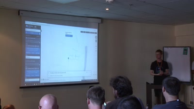
Geopaparazzi state of the art of the digital field mapping application
General
26 min
2019-08-29
91
Andrea Antonello
FOSS4G 2019
25 min
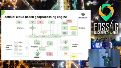
How digging in the earth for the fibre roll-out took GRASS to the cloud
General
25 min
2019-08-29
119
Markus Neteler
,
Markus Metz
,
Anika Bettge
,
Torsten Drey
and
Carmen Tawalika
FOSS4G 2019
22 min
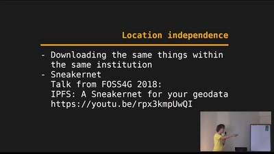
Geodata on IPFS
General
22 min
2019-08-29
142
Volker Mische
FOSS4G 2019
14 min
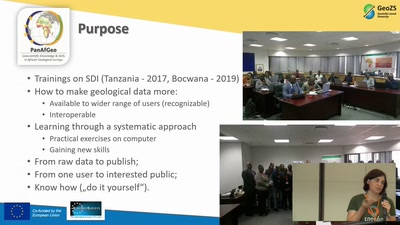
USE OF OPEN-SOURCE SOFTWARE IN TRAINING MODULE AS A PART OF PANAFGEO PROJECT
General
14 min
2019-08-29
20
Špela Kumelj; Geological Survey of Slovenia
FOSS4G 2019
14 min
Cesium applications made awesome with TerriaJS
General
14 min
2019-08-29
376
Stephen Davies
FOSS4G 2019
21 min
Free and Open Meteorological and Climate data - what is missing?
Keynote
21 min
2019-08-29
105
Julia Wagemann
FOSS4G 2019
21 min
GIS Migration Paths - Tools and strategies to move to open source GIS
General
21 min
2019-08-29
98
Mario Baranzini
FOSS4G 2019
21 min
Real time mapping with SMS where there is no internet
General
21 min
2019-08-29
74
Lambert Marie-Julie
FOSS4G 2019
15 min
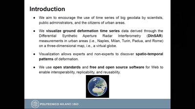
Visualization of Big GeoData: An experiment with DINSAR deformation time series
Academic
15 min
2019-08-29
62
Mariarosaria Manzo
,
Antonio Pepe
,
Pasquale Imperatore
,
Paola Carrara
,
Manuela Bonano
,
Gloria Bordogna
and
Candan Eylül Kilsedar
FOSS4G 2019
22 min
WPS with Qgis processing - From desktop to server
General
22 min
2019-08-29
236
René-Luc DHONT
and
David Marteau
FOSS4G 2019
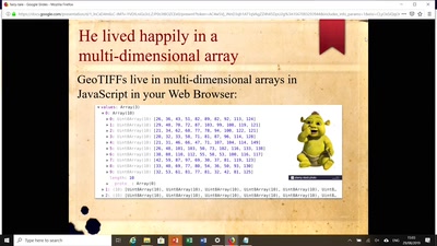
17 min
Algorithm Walk-through: How to Visualize a Large GeoTIFF on Your Web Map
General
17 min
2019-08-29
235
Daniel J. Dufour
FOSS4G 2019
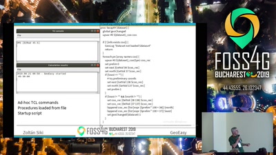
31 min
GeoEasy, free surveying calculations
General
31 min
2019-08-29
664
Zoltan Siki
FOSS4G 2019
19 min
Running QGIS Server in production
General
19 min
2019-08-29
2.6k
Eric Lemoine
FOSS4G 2019
29 min
Using GPU-acceleration to Interact with Open Street Map at Planet-Scale
Keynote
29 min
2019-08-29
208
Aaron Williams
FOSS4G 2019
26 min
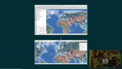
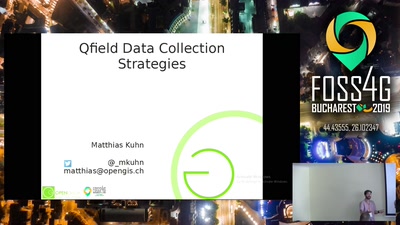
Field data collection strategies - using QField and QGIS
General
26 min
2019-08-29
1.4k
Matthias Kuhn
FOSS4G 2019
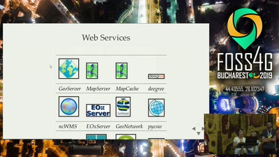
20 min
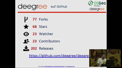
State of deegree 2019
20 min
2019-08-29
36
Torsten Friebe
,
Dirk Stenger
and
Stephan Reichhelm
FOSS4G 2019
26 min
From proprietary GIS to OpenSource : overview of a software stack
General
26 min
2019-08-29
344
Vincent Picavet
FOSS4G 2019
34 min
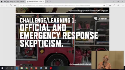
Designing for Crisis
34 min
2019-08-29
33
Eriol Fox
FOSS4G 2019
26 min
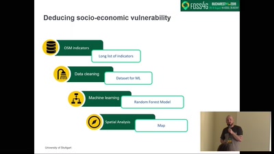
An open risk index with learning indicators from OSM-tags, developed by machine learning…
26 min
2019-08-29
43
Jörn Birkmann
,
Holger Sauter
and
Daniel Feldmeyer
FOSS4G 2019
24 min
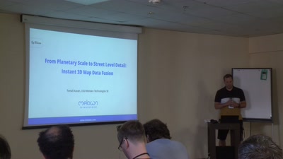
From Planetary Scale to Street Level Detail: Instant 3D Map Data Fusion with VTS
General
24 min
2019-08-29
45
Tomas Kavan
FOSS4G 2019
23 min
Shortest path in the database and more with pgRouting
General
23 min
2019-08-29
327
Vicky Vergara
FOSS4G 2019
27 min
Behind the mirror : how we run an OpenSource company
27 min
2019-08-29
125
Vincent Picavet
FOSS4G 2019
28 min
What’s new in OSGeoLive 13.0 ?
General
28 min
2019-08-29
180
Nicolas Roelandt
,
Angelos Tzotsos
and
Astrid Emde
FOSS4G 2019
20 min
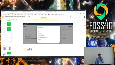
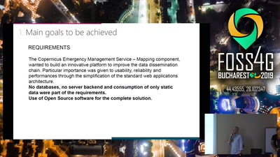
Input: A touch friendly mobile app for data collection
General
20 min
2019-08-29
179
Lutra Consulting
FOSS4G 2019
21 min
Struggle with WebGL to render vector data
General
21 min
2019-08-29
105
Raúl García
,
Belén Sáez
,
Simone Dalmasso
and
Enrique Soriano
FOSS4G 2019
previous page
next page