Get to know OSGeo and how OSGeo is connected to OpenStreetMap
OSGeo is all about Open Source Software, Open Data and Open Education. Learn about OSGeo and what builds up this great organization and find out how OpenStreetMap is used by OSGeo projects, how OpenStreetMap can use OSGeo projects and how the two OSGeo and OpenStreetMap are conneted.
The Open Source Geospatial Foundation (OSGeo) is a not-for-profit organization whose mission is to foster global adoption of open geospatial technology by being an inclusive software foundation devoted to an open philosophy and participatory community driven development. The foundation provides financial, organizational and legal support to the broader open source geospatial community.
OSGeo vision: Empower everyone with open source geospatial
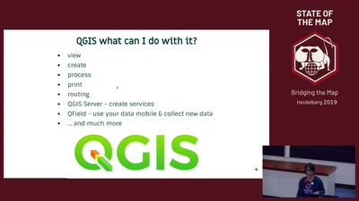
OSGeo was founded in 2006 and is well established as a global organization with Local Chapters all over the world. OSGeo represents and supports more than 25 software projects (https://www.osgeo.org/projects/) like QGIS, PostGIS or GDAL.
OSGeo organizes many events global and regional all over the world (https://www.osgeo.org/events/). On every event OpenStreetMap is a topic in some of the talks or workshops.
The initiative GeoForAll (https://www.osgeo.org/initiatives/geo-for-all/) is an OSGeo Committee and has an Educational outreach and has the mission for making geospatial education and opportunities accessible to all.
There is also the OSGeoLive project that covers more than 50 software projects, Open Data and also documentation and tutorials. OSGeoLive is a self-contained bootable DVD, USB thumb drive or Virtual Machine based on Lubuntu, that allows you to try a wide variety of open source geospatial software without installing anything. OpenStreetMap data and software are also included on OSGeoLive.
OpenStreetMap data is involved in many OSGeo projects f.e. as sample data, sample service. There is also functionality available to handle OSM data f.e the variety of OSM specific plugins for QGIS or support for OSM in GDAL (https://www.gdal.org/drv_osm.html) or routing on OSM data with pgRouting.
Learn about OSGeo and how OSGeo and OSM are connected and join the OSGeo community.


