System
Light
Dark
News
RSS, last 100
Podcast feed of the last two years
SD quality
Podcast audio feed of the last year
Podcast archive feed, everything older than two years
SD quality
Podcast feeds for fossgis2026
mp4
SD quality
av1
SD quality
webm
SD quality
opus
mp3
News
RSS, last 100
Podcast feed of the last two years
SD quality
Podcast audio feed of the last year
Podcast archive feed, everything older than two years
SD quality
Podcast feeds for fossgis2026
mp4
SD quality
av1
SD quality
webm
SD quality
opus
mp3
browse
conferences
geo
fossgis2026
3D, Drohnen, LIDAR, Geo-AR/VR
FOSSGIS 2026
3D, Drohnen, LIDAR, Geo-AR/VR
Full playlist:
Video
/
Audio
https://fossgis-konferenz.de/2026/
name
duration
date
view count
25 min
TrailScan: QGIS-Plugin zur Kartierung forstlicher Rückegassen in Laserscanning Daten
3D, Drohnen, LIDAR, Geo-AR/VR
HS2 (ZHG 010)
25 min
2026-03-26
246
Tanja Kempen
26 min
BIM-Modelle treffen Geodaten: Webintegration mit der API for the Built Environment
3D, Drohnen, LIDAR, Geo-AR/VR
HS3 (ZHG 009)
26 min
2026-03-26
142
Stefan Herlé
26 min
Open Source Tools zur Erstellung von 3D Tiles – Erfahrungen und Herausforderungen
3D, Drohnen, LIDAR, Geo-AR/VR
HS3 (ZHG 009)
26 min
2026-03-26
137
Martin Alzueta
20 min
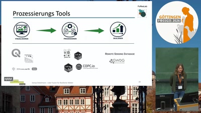
LiDAR-Fusion für resiliente Wälder: FOSSGIS zur Integration von MLS, ULS und ALS
3D, Drohnen, LIDAR, Geo-AR/VR
HS2 (ZHG 010)
20 min
2026-03-26
78
Svenja Dobelmann